


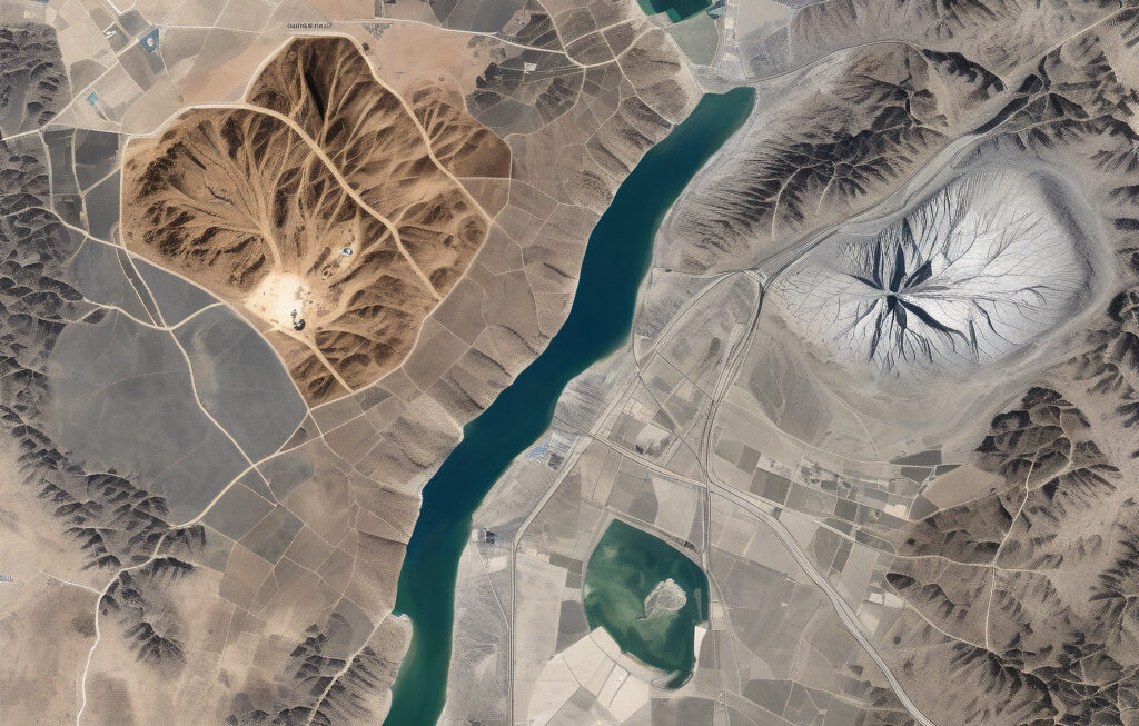
Satellite Images and AI Uncover Hidden Mining Footprints Worldwide In a groundbreaking initiative funded by the European Union, the integration of artificial intelligence (AI) and satellite imagery has emerged as a powerful tool in mapping mining activities across the globe. This innovative approach not only sheds light on previously hidden mining footprints but also plays […]
City watch from orbit: How Earth observation is powering smarter, greener urban planning
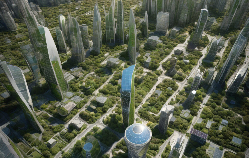
City Watch from Orbit: How Earth Observation is Powering Smarter, Greener Urban Planning In today’s rapidly evolving urban landscapes, the need for sustainable and resilient urban planning has never been more critical. With cities around the world facing increasing challenges due to climate change and population growth, innovative solutions are essential to build a more […]
US strikes spared key nuclear research reactors in Iran, satellite images reveal
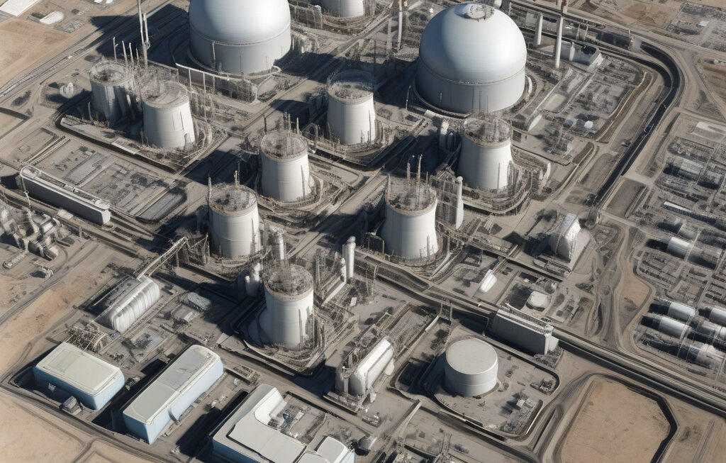
US Strikes Spare Key Nuclear Research Reactors in Iran, Satellite Images Reveal New satellite imagery released by Maxar Technologies shows that recent U.S. airstrikes on Iran’s nuclear facilities spared key research reactors crucial for the country’s scientific advancements. The images captured by Maxar’s WorldView-3 satellite reveal that while significant damage was inflicted on surrounding buildings […]

How Earth observation technology is transforming disaster relief
Revolutionizing Disaster Relief: The Impact of Earth Observation Technology In the realm of disaster relief efforts, the integration of Earth observation technology has brought about a significant transformation in response strategies. The utilization of cutting-edge tools such as artificial intelligence (AI) and drones has redefined the landscape of humanitarian aid, offering innovative solutions to address […]

AI reveals new insights into the flow of the Antarctic ice sheet
AI Reveals New Insights into the Flow of the Antarctic Ice Sheet The use of Artificial Intelligence (AI) in climate research has brought about groundbreaking discoveries in understanding the dynamics of the Antarctic ice sheet. By harnessing the power of AI, scientists have unlocked new insights into the flow patterns and behaviors of one of […]