


Saving Lives from Space: How Earth Observation Satellites Aid Disaster Response
Earth observation satellites have revolutionized the way we respond to disasters by offering crucial real-time data that significantly improves situational awareness. In today’s world, where natural disasters are becoming more frequent and severe, these technological marvels play a vital role in saving lives and mitigating the impact of catastrophes.
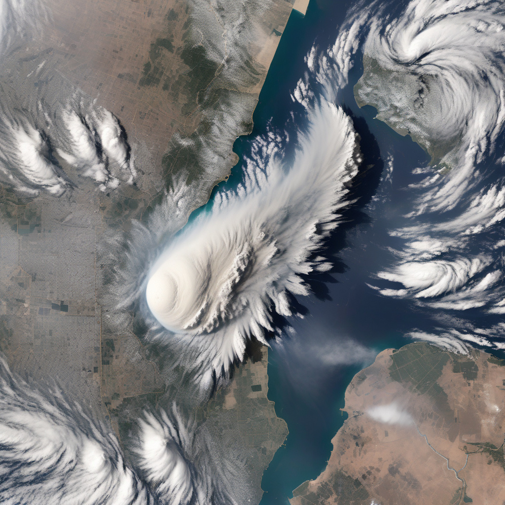
The capability of Earth observation satellites to capture high-resolution images of disaster-stricken areas allows emergency responders to assess the situation swiftly and effectively. Whether it is a hurricane, wildfire, earthquake, or any other calamity, these satellites provide invaluable information about the extent of damage, the displacement of populations, and the condition of critical infrastructure. This data is instrumental in devising rescue operations, allocating resources, and coordinating relief efforts in a timely manner.
Moreover, the real-time monitoring of disasters facilitated by Earth observation satellites enables authorities to make informed decisions based on up-to-date information. By tracking the progression of a disaster and predicting its potential trajectory, emergency response teams can proactively plan their interventions and evacuate at-risk populations before it’s too late. This proactive approach not only saves lives but also minimizes the damage to property and the environment.
An excellent example of the impact of Earth observation satellites in disaster response can be seen in the case of the recent wildfires in Australia. Satellites equipped with infrared sensors were able to detect the spread of fires, map the affected areas, and identify hotspots that required immediate attention. This information was crucial for firefighters on the ground, allowing them to prioritize their efforts and contain the blaze more effectively.
Furthermore, Earth observation satellites are not limited to providing imagery alone. They also play a crucial role in gathering essential data related to weather patterns, soil moisture levels, and vegetation health, which can help predict and prevent disasters before they occur. By analyzing this data, scientists and policymakers can identify vulnerable areas, implement mitigation measures, and build resilience against future calamities.
The integration of Earth observation satellite data with geographic information systems (GIS) has further enhanced the effectiveness of disaster response efforts. By overlaying satellite imagery with geospatial data, responders can create detailed maps that show the impact of a disaster on the ground, identify access routes, and plan the distribution of aid more efficiently. This geospatial intelligence is invaluable in coordinating multi-agency responses and ensuring that resources are deployed where they are most needed.
In conclusion, Earth observation satellites have emerged as indispensable tools in disaster response, providing critical information that helps save lives, protect property, and support recovery efforts. As technology continues to advance, and the capabilities of these satellites improve, we can expect even greater contributions to enhancing our resilience to disasters. By leveraging the power of space-based observations, we are better equipped to face the challenges of an increasingly unpredictable world.
The post Saving lives from space: How Earth observation satellites aid disaster response appeared first on Innovation News Network.
#EarthObservation, #DisasterResponse, #SatelliteTechnology, #EmergencyManagement, #Innovations