


City Watch from Orbit: How Earth Observation is Powering Smarter, Greener Urban Planning
In today’s rapidly evolving urban landscapes, the need for sustainable and resilient urban planning has never been more critical. With cities around the world facing increasing challenges due to climate change and population growth, innovative solutions are essential to build a more sustainable future. One such solution that is revolutionizing urban planning is Earth observation from orbit.
By utilizing high-resolution imagery and real-time data captured from satellites orbiting the Earth, urban planners now have access to a wealth of information that was previously unavailable. This technology allows planners to monitor and analyze various aspects of urban areas, from land use and infrastructure to natural resources and environmental conditions.
One of the key benefits of Earth observation in urban planning is the ability to track changes over time. By comparing historical data with current information, planners can identify trends, assess the effectiveness of past interventions, and make informed decisions for the future. For example, monitoring changes in land use patterns can help identify areas that are at risk of urban sprawl or inform decisions on where to implement green spaces for improved livability.
Moreover, Earth observation data enables planners to assess the impact of urbanization on the environment. By monitoring factors such as air and water quality, deforestation, and land degradation, planners can develop strategies to mitigate negative effects and promote sustainable development. This information is crucial for creating cities that are not only efficient and livable but also environmentally friendly and resilient to the challenges of climate change.
Furthermore, real-time data from Earth observation satellites provides urban planners with tools for disaster management and response. By monitoring natural disasters such as floods, wildfires, and storms, planners can quickly assess the extent of damage, coordinate response efforts, and plan for future resilience. This capability is invaluable in ensuring the safety and well-being of urban populations in the face of increasing climate-related risks.
The integration of Earth observation data into urban planning processes is already yielding tangible results in cities around the world. For instance, in Singapore, the government uses satellite imagery to monitor land use changes and plan infrastructure developments that optimize space and resources. Similarly, in Copenhagen, Denmark, Earth observation data is used to track the city’s carbon footprint and inform policies to reduce emissions and improve air quality.
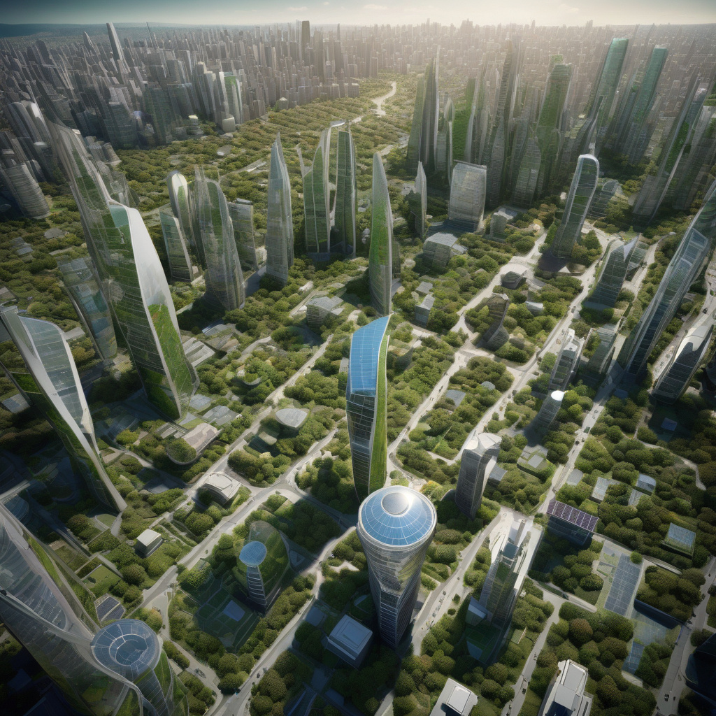
As the global population continues to urbanize, the demand for innovative urban planning solutions will only grow. Earth observation technology presents a powerful tool for addressing the complex challenges faced by cities today and building a more sustainable future for tomorrow. By harnessing the wealth of data provided by satellites orbiting the Earth, urban planners can make smarter, greener decisions that benefit both current and future generations.
In conclusion, Earth observation is transforming the way urban planning is conducted, offering new insights and possibilities for creating sustainable and resilient cities. By leveraging high-resolution imagery and real-time data, planners can address climate challenges from above and make informed decisions that lead to a greener, more livable urban environment.
#UrbanPlanning, #EarthObservation, #SustainableCities, #ClimateChange, #SmartCities