


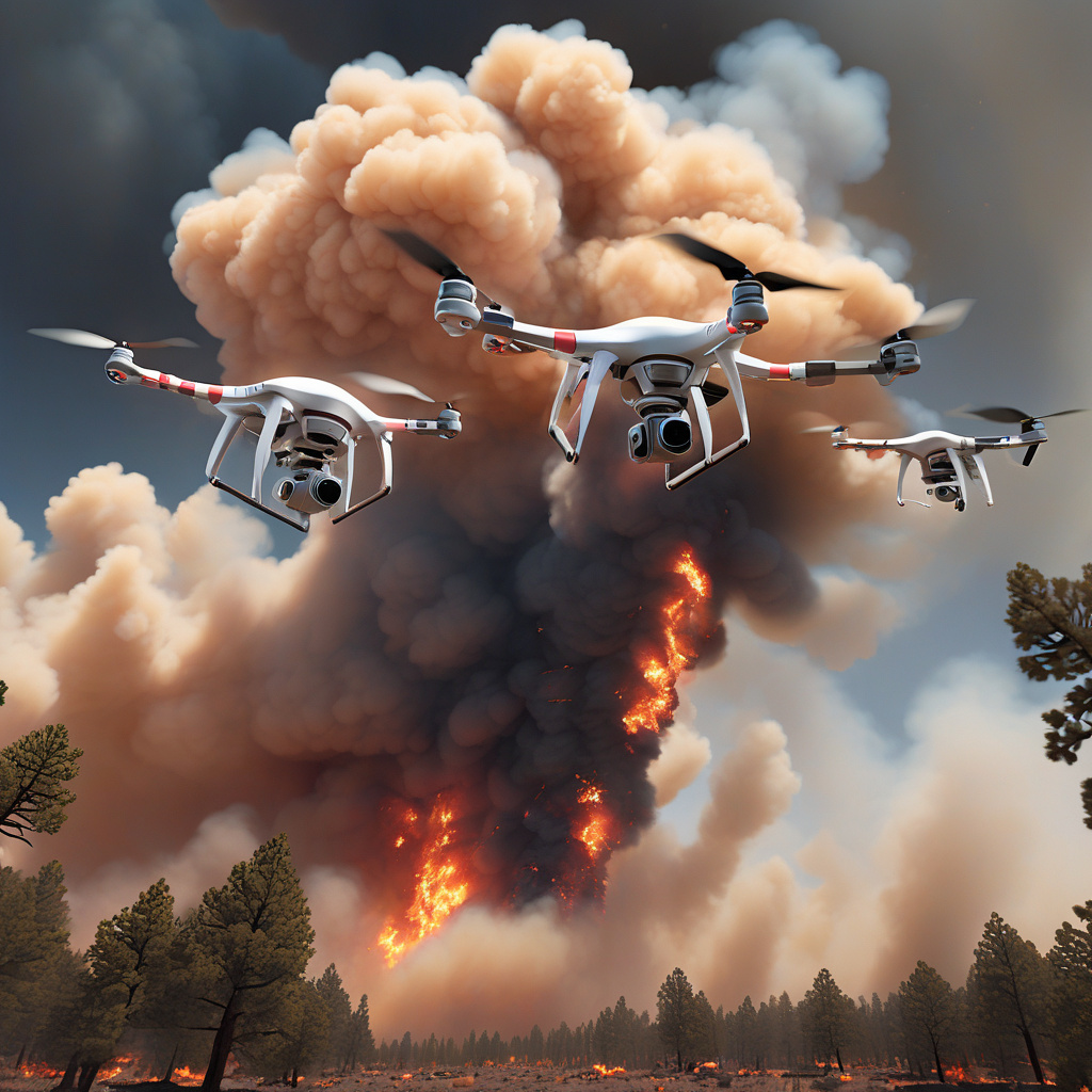
AI-Guided Drones: Revolutionizing Wildfire Research and Data Collection
Wildfire smoke can travel hundreds of miles, clouding skies and choking air quality in distant regions. As these devastating blazes continue to pose a threat to wildlife, ecosystems, and human lives, the need for advanced technology to aid in research and mitigation efforts becomes increasingly critical. In a groundbreaking development, AI-guided drones are now being deployed to fly into wildfire smoke plumes, capturing intricate 3D data that can revolutionize our understanding of these destructive phenomena.
The utilization of drones equipped with artificial intelligence represents a significant leap forward in the field of wildfire research. Traditionally, studying wildfire behavior and the dynamics of smoke plumes has been a challenging and often dangerous endeavor for researchers. However, with the advent of AI-guided drones, scientists can now gather real-time data with unprecedented precision and detail, all while minimizing the risks associated with traditional data collection methods.
These innovative drones are capable of navigating through dense smoke plumes, utilizing advanced sensors and imaging technology to capture high-resolution 3D data. By analyzing this data, researchers can gain valuable insights into the structure and composition of wildfire smoke, as well as how it evolves and spreads over time. This information is invaluable for predicting the trajectory of wildfires, assessing their environmental impact, and implementing effective strategies for containment and suppression.
One of the key advantages of using AI-guided drones for wildfire research is their ability to access remote and hard-to-reach areas that would otherwise be inaccessible to human researchers. By flying directly into smoke plumes, these drones can collect data from the heart of the wildfire, providing researchers with a comprehensive understanding of its behavior and characteristics. This level of detail is essential for developing more accurate models for predicting wildfire behavior and improving emergency response efforts.
Moreover, the data collected by AI-guided drones can also be used to enhance air quality monitoring and public health initiatives in regions affected by wildfire smoke. By analyzing the composition of smoke plumes and tracking their movement, researchers can provide timely warnings and guidance to local communities, helping to minimize the health risks associated with exposure to wildfire smoke.
In addition to their applications in wildfire research, AI-guided drones have the potential to revolutionize a wide range of other fields, including agriculture, infrastructure inspection, and disaster response. By harnessing the power of artificial intelligence and unmanned aerial vehicles, researchers and professionals can collect data more efficiently, accurately, and safely than ever before.
In conclusion, the use of AI-guided drones to capture 3D data from wildfire smoke plumes represents a significant advancement in the field of wildfire research. By providing researchers with unprecedented insights into the behavior of wildfires and the dynamics of smoke plumes, these drones have the potential to revolutionize our approach to wildfire mitigation, environmental protection, and public health. As technology continues to evolve, the integration of AI and drones is likely to play an increasingly crucial role in addressing the complex challenges posed by wildfires and other natural disasters.
wildfire research, AI-guided drones, 3D data, smoke plumes, environmental impact
